EBG helps development teams translate physical reality into useful digital systems. Our value is in understanding real-world data, preserving its meaning and fidelity, and integrating it into models, applications, and workflows that support decisions.
We typically contribute specialized expertise within a broader software, engineering, geospatial, or operational team. You keep your partners. We bring the depth where the physical and digital meet.
We work with data captured by your providers, as well as remote telemetry data, and help make it fit for the system that depends on it.

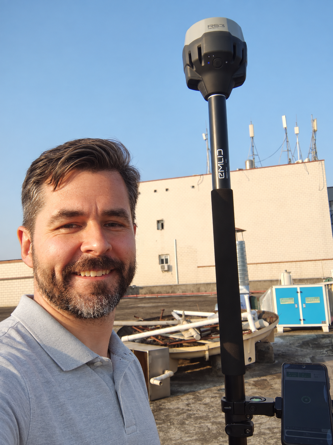
Ronald Eicher brings practical expertise in geopositioning, remote sensing, and high-fidelity digital modeling. His work bridges physical environments and digital tools, turning complex spatial data into accurate, useful representations that support planning and informed decision-making. He focuses on applying technology to solve real-world challenges across industrial, commercial, and agricultural sectors.
LinkedIn profileSource, reference frame, quality, and transformations stay attached to the data.
Specialist depth inside your software, engineering, or geospatial team.
Data from your capture providers and remote telemetry, made fit for use.
Models and workflows shaped around the decisions your system supports.